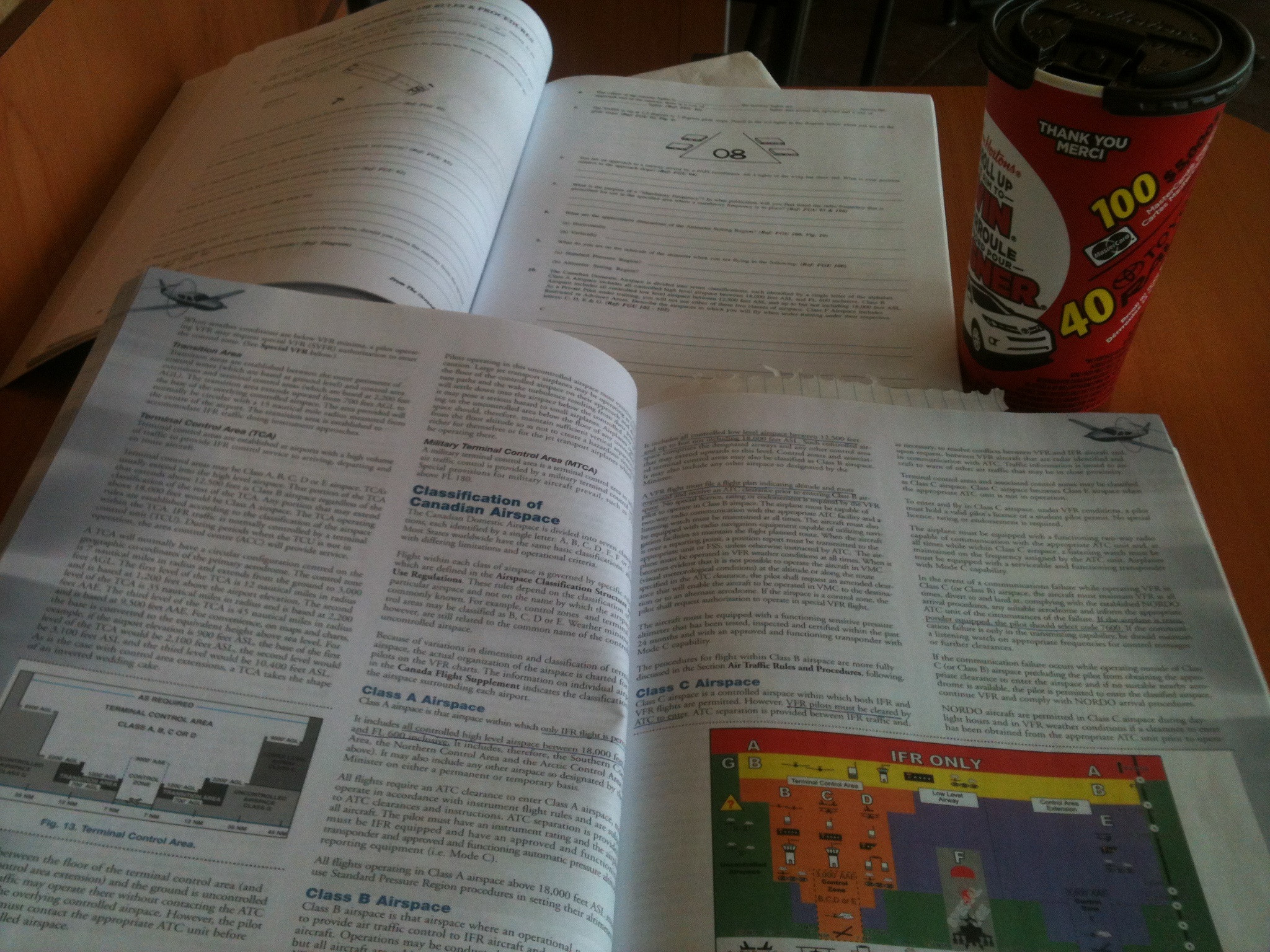
I am currently studying air law. Air law is a big topic and will take some time to cover. It’s hard to present all this information, so I thought I’d review a few of the very basics.
Material for air law is found in the Canadian Aviation Regulations (CARS). CARS is divided into two parts, the Regulations, which provide the rules, and the Standards, which give us guidance on how to apply the rules. There are eight parts, or subject areas:
Part 1 General Provisions
Part 2 Aircraft Identification and Registration
Part 3 Aerodromes and Airports
Part 4 Personnel Licensing and Training
Part 5 Airworthiness
Part 6 General Operating and Flight Rules
Part 7 Commercial Air Services
Part 8 Air Navigation Services
")
Canadian Airspace – Image from Transport Canada (tc.gc.ca)
Runway numbering
In SDA, aircraft operate according to their magnetic track. Runways are numbered according to their magnetic track, and surface winds are also reported in degrees magnetic. Runway markings are numbered to the nearest 10 degree increment, and the last digit is dropped. For example, runway with the heading 163 will be abbreviated 16.
Altimeter Regions
Canada is also divided into an altimeter setting region and a standard pressure region. The limits of the altimeter setting region are the same as for the SDA and vertically below FL180 (flight level 18,000 feet). In this region, a pilot must set their altimeter to the current altimeter reading for the departing airport and airports along the flight. The standard pressure region encompasses the NDA and anywhere above FL180. The altimeter is set to standard sea level pressure (29.92″ Hg). For takeoff and climb for an airport in this region, altimeter should be set to the setting for that particular airport, and reset to standard pressure upon reaching cruising altitude. For descent and landing, the altimeter setting for that particular airport should be set.
Uncontrolled Airspace
This consists of airspace where there is no air traffic control (ATC). Because of this, aircraft in close proximity may present a hazard since to monitoring is given, hence pilots are required to monitor the frequency 126.7 continuously broadcast their location, altitude and intention.
Controlled Airspace
Here ATC is provided and consists of high level (above FL180) and low level airspace (below FL180).
High Level Airspace
All airspace above 18,000. This is divided into three regions: (1) Southern Control Area (SCA): same boundaries as SDA, within this area, all traffic (above 18,000 feet) is controlled, the (2) Northern Control Area (NCA) which extends from the northern limits of the SCA to about 72 degrees latitude, and all traffic above FL230 is controlled, and the Arctic Control Area (ACA) which extends from the boundary of the NCA to the North Pole. It controls all the airspace above FL270.
High level airspace includes high level airways which are prescribed tracks between specific navigation aids where ATC is provided, and high level air routes which are the same as airways but no ATC is provided.
Low Level Airspace
This is Canadian Domestic Airspace below 18,000 feet ASL, not all of which is controlled. Controlled low level airspace includes
Low level airways: routes which aircraft can navigate by following a non directional beacon, and VHF/UHF airways spaced approximately 100 miles apart along the airway. The basic width is 4 nautical miles on each side. Low Frequency/Medium frequency airways (LF/MF) are navigated with reference to signals from low frequency transmitters. The width is 4.34 nautical miles on each side. An airway has it’s base at 2,200 AGL and extends up to the base of the overlying high level airspace.
Control Area Extensions (CAE): are additional control zones established at some busy airports within controlled airspace to handle IFR traffic. They extend from 2,200 to 18,000 ‘ AGL.
Control Zones: Designated around certain aerodromes to monitor IFR traffic and facilitate the movement of IFR and VFR traffic. The upper limit is usually 3000′ AGL. They can be classified as B,C,D or E depending on the classification of surrounding airspace. Most with terminal control have a 7 nautical mile radius, others 5, and a few only 3.
 Airspace. Figure from Transport Canada (tc.gc.ca)")
Canadian Terminal Control Area (TCA) Airspace. Figure from Transport Canada (tc.gc.ca)
Next, I’ll review the Classification of Canadian Airspace – airspace classes, A, B, C, D, E, F and G. Read more air law here.